- No1,654
UGA Map and Government Information Library map collection

Maps dating back to the mid-19th century, with an emphasis on Georgia cities and counties; some types of maps included are rural delivery routes, highways, topographic, and soil.
More About This Collection
Creator
University of Georgia. Map and Government Information Library
Date of Original
1850/2021
Subject
Maps
Cartographic materials--Georgia
Electric lines--Georgia--Maps
Census districts--Georgia--Maps
Rural free delivery--Georgia--Maps
School districts--Georgia--Maps
Location
United States, 39.76, -98.5
United States, Georgia, 32.75042, -83.50018
Medium
maps
Type
Text
Description
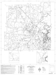
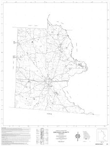
The Map and Government Information Library’s digital map collection includes maps dating back to the mid-19th century, with an emphasis on Georgia cities and counties. Some types of maps included are rural delivery routes, highways, topographic, and soil. The collection will continue to grow as new maps are identified and digitized.
Holding Institution
University of Georgia. Map and Government Information Library


