- No54
Historic maps (Georgia Archives)

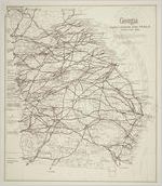
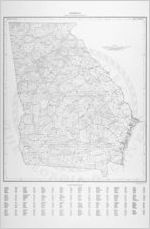
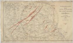
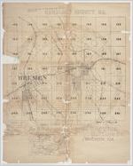
Maps dating from the 1740s collected by Georgia's Office of Surveyor General.
More About This Collection
Date of Original
1740/1954
Subject
Georgia--Maps
Location
United States, Georgia, 32.75042, -83.50018
Medium
maps
Type
Still Image
Description
The Historic Map File consists of maps focusing on Georgia collected by the Office of Surveyor General. They include maps of the State of Georgia, Georgia towns, and of the southeastern United States, dating from the 1740s. In addition to illustrating Georgia's growth, the maps show how the state's boundaries have changed over the years.
Language
eng
Holding Institution
Georgia Archives

![Location map showing sites at which stream flow was measured during the 1954 drought in Georgia / United States Department of the Interior, Geological Survey [and Georgia] State Division of Conservation, Department of Mines, Mining and Geology.](https://dlg.usg.edu/thumbnails/gaarchives/hmf/gaarchives_hmf_44.jpg)


