- No53
Record series 3121-007, engineering department – general maps, 1798-1961, no date

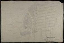
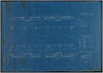
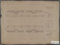
Maps from 1798 to 1961 that illustrate Savannah property holdings, as well as land subdivision for city and private development.
More About This Collection
Date of Original
1798/1961
Subject
City planning--Georgia--Savannah
Historic districts--Georgia--Savannah
Maps--Georgia--Savannah
Location
United States, Georgia, Chatham County, Savannah, 32.08354, -81.09983
Medium
maps
Type
Still Image
Description
Maps from 1798 to 1961 that illustrate Savannah property holdings, as well as land subdivision for city and private development. The maps also record property lines, right-of-ways, water and sewer lines, and street openings. Many maps include the names of property owners.
Language
eng
Holding Institution
City of Savannah Municipal Archives


