- No399
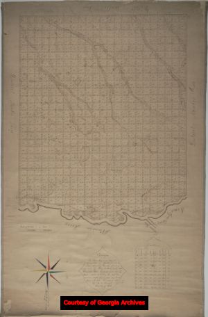
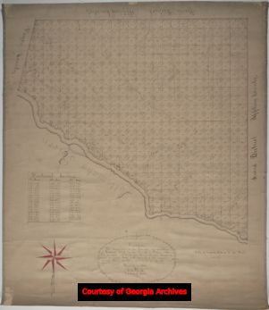
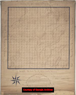
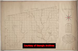
District plats of survey

Original surveys of land districts in counties made prior to distribution of land by lottery, between 1805 and 1833, plus resurveys or renewed surveys of districts.
More About This Collection
Publisher
District Plats of Survey, Survey Records, Surveyor General, RG 3-3-24, Georgia Archives
Date of Original
1805/1833
Subject
Cherokee Indians--Land tenure--Georgia
Creek Indians--Land tenure--Georgia
Real property--Georgia
Indian land transfers--Georgia
Land grants--Georgia
Georgia--Surveys
Location
United States, Georgia, Appling County, 31.74928, -82.28898
United States, Georgia, Baldwin County, 33.06928, -83.24959
United States, Georgia, Carroll County, 33.58282, -85.07974
United States, Georgia, Cherokee County, 34.24393, -84.4762
United States, Georgia, Coweta County, 33.35346, -84.76337
United States, Georgia, Dooly County, 32.15718, -83.79875
United States, Georgia, Early County, 31.32283, -84.90364
United States, Georgia, Fayette County, 33.41394, -84.49419
United States, Georgia, Gwinnett County, 33.96173, -84.02363
United States, Georgia, Habersham County, 34.63102, -83.53112
United States, Georgia, Hall County, 34.31689, -83.81968
United States, Georgia, Henry County, 33.453, -84.1542
United States, Georgia, Houston County, 32.45901, -83.66624
United States, Georgia, Irwin County, 31.60228, -83.27638
United States, Georgia, Lee County, 31.77951, -84.14113
United States, Georgia, Monroe County, 33.01408, -83.91872
United States, Georgia, Muscogee County, 32.50996, -84.87704
United States, Georgia, Rabun County, 34.88168, -83.40214
United States, Georgia, Troup County, 33.03351, -85.02834
United States, Georgia, Walton County, 33.78156, -83.73385
United States, Georgia, Wayne County, 31.55143, -81.91676
United States, Georgia, Wilkinson County, 32.80241, -83.17125
Medium
plats (maps)
Type
Still Image
Description
Eight times between 1805 and 1833 the state of Georgia held lotteries to distribute western lands, ceded by the Creek and Cherokee through a series of treaties, to Georgia citizens. Each lottery was authorized by the Georgia legislature through acts of the General Assembly in which new counties were created, the method of land surveying was described, and eligibility requirements for the subsequent distribution were set. Today, the District Plats of Survey remain the legal basis for the land lot system in Georgia. This system established counties, districts, and land lots through a number of land surveys. Each county was divided into districts and each district was subdivided into land lots, ranging in size from 40 acres to 490 acres, depending on the lottery. The Cherokee territory, however, was also divided into sections. The district plats are the graphic representation of these surveys, performed by district surveyors appointed by the legislature, in which the land lots were demarcated and numbered. The District Plats of Survey include the county name; district number; land lot numbers; physical land features, in particular the trees and original forestation; and adjoining district numbers. Many plats also include the name of the district surveyor; the date the survey was made or certified; original place names (some of native origin); the total area surveyed; a scale; and the magnetic variation. Some of the plats are resurveys or renewed surveys ordered by the Surveyor General. There are plats for the following counties: Appling, Baldwin, Carroll, Cherokee, Coweta, Dooly, Early, Fayette, Gwinnett, Habersham, Hall, Henry, Houston, Irwin, Lee, Monroe, Muscogee, Rabun, Troup, Walton, Wayne, and Wilkinson.
Holding Institution
Georgia Archives


