- No1,601
DeKalb County plat map books, years 1912-1936

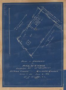
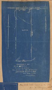
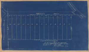
Ten DeKalb County plat map books dating from 1912-1936, containing maps that show various subdivisions, streets, and property owner names throughout DeKalb County, created by the DeKalb County government for showing boundaries of properties for tax purposes.
More About This Collection
Date of Original
1912/1936
Subject
Cartographic materials
Maps
Real property--Maps
Location
United States, Georgia, DeKalb County, 33.77153, -84.22641
Medium
property records
plat books
cadastral maps
Type
Text
Description
Ten DeKalb County plat map books dating from 1912-1936, containing maps that show various subdivisions, streets, and property owner names throughout DeKalb County, created by the DeKalb County government for showing boundaries of properties for tax purposes. Each book contains approximately 100 maps.
Language
eng
Holding Institution
DeKalb History Center (Decatur, Ga.)


