- No740
Metropolitan Atlanta Rapid Transit Authority (MARTA) Collection

Maps and publications dating from 1965 to 1975 documenting transit station plans and the impact of MARTA on Atlanta communities.
More About This Collection
Date of Original
1965/1975
Subject
Local transit--Georgia--Atlanta
Atlanta (Ga.)--Maps
City planning--Georgia--Atlanta
Location
United States, Georgia, Clayton County, 33.54189, -84.35769
United States, Georgia, Cobb County, 33.94147, -84.57667
United States, Georgia, DeKalb County, 33.77153, -84.22641
United States, Georgia, Fulton County, Atlanta, 33.749, -84.38798
Medium
maps (documents)
site plans
Type
Still Image, Text
Description
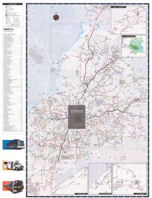
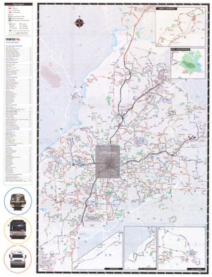
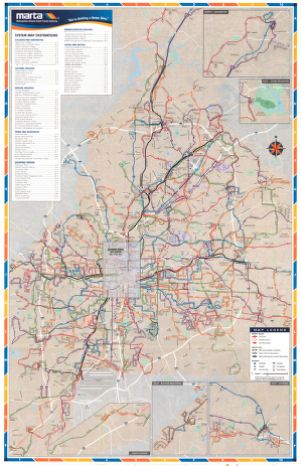
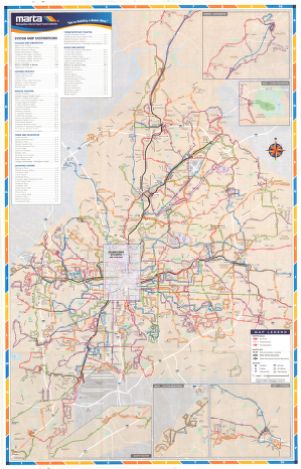
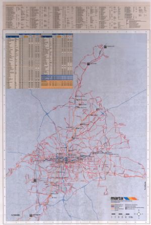
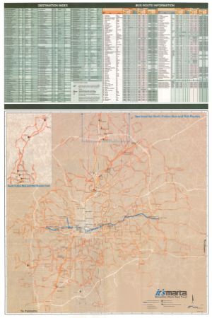
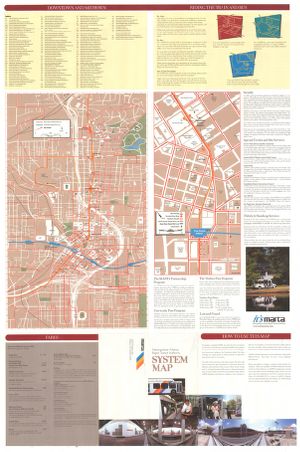
The Metropolitan Atlanta Rapid Transit Authority (MARTA), formed in 1965, is the principal rapid-transit system in metro Atlanta. This collection includes a selection of more than 300 historical maps and publications documenting transit station plans and the impact of MARTA on Atlanta communities. These items are owned by MARTA and were digitized by Georgia State University Library.
Language
eng
Rights Holder
Copyright to the items in this collection are owned by their creators. Items may be used for scholarship, educational, and personal use. Additional uses will require permission of the rights holder.
Holding Institution
Georgia State University. Special Collections
Rights![]()